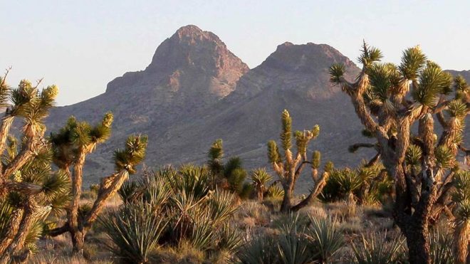
Castle Mountains National Monument
SERVICE OVERVIEW
Castle Mountains National Monument is a U.S. National Monument located in the eastern Mojave Desert and northeastern San Bernardino County, in the state of California.
The park protects 20,920 acres, located between the interstates I−15 and I−40, and northwest of the Colorado River.
Directions:
Hwy 62 to Godwin Road. Turn left on Godwin. Go 2 miles, then right on Amboy Rd. Go 39.8 miles, then right on National Trails Hwy. Go 6.6 miles, left on Kelbaker Rd. Go 33.9 miles, then right onto Kelso Cima Rd. Go 19.0 miles and continue onto Morning Star Mine Rd. Go 14.8 miles, then left onto Ivanpah Rd. Go 3.2 miles, then right on Nipton Rd. (Entering Nevada) A 21.0 mile drive to Walking Box Ranch Rd in San Bernardino County. Go 13.6 miles, then right on Walking Box Ranch Rd. Go 0.6 miles, and continue straight 0.6 miles. Continue straight onto Ykl Ranch Rd. Go 2.0 miles, and continue onto Viceroy Mine Rd/Walking Box Ranch Rd. Go 10.4 miles (entering California). Arrive at Castle Mountains National Monument.